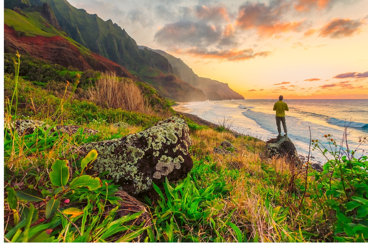
The Ka Ala Hele Makalae Trail (“The path that goes by the coast”) is a visionary 17-mile coastal trail on the eastern shore of Kaua‘i is one of the latest participants in the “Rails to Trails” nation-wide project. Upon its completion, the multi-use trail will link Nawiliwili in the south and Anahola in the north, providing a scenic pathway perfect for breathtaking bike rides and scenic sunset strolls. Currently, two completed segments provide stunning views of the Kaua‘i coastline (four more are in the works); the first connects Lydgate Park to Wailua Beach Park, and the second links Kapa`a to Ahihi Point. The two miles between the finished segments has yet to be completed, though they are connected by a highway (caution is advised if cycling on it, walking is not advised).
Rails to Ke Ala Hele Makalae Trails
The initial segments of the Ke Ala Hele Makalae Trail are comprised of old railways that hauled Kaua‘i’s sugarcane crops from the agricultural fields to the processing plants and harbor towns. Now these scenic paved pathways provide wide lanes for biking, walking, and jogging. The southern segment can be accessed from the parking lot at Lydgate Park, where facilities are available. In the north, Waipouli Beach Park and Kapaa Beach Park both connect to the northern segment and feature parking, restrooms, and shower facilities.
Sights and Attractions
One of the highlights of the Ke Ala Hele Makalae Trail is Lydgate Park and its twin lagoons protected from high surf by a stone seawall. The calm waters here are perfect for beginning swimmers and small children, and picnic areas and playgrounds make this a popular daytime destination. Take the trail heading north from the park and you will encounter the first of two dozen interpretive signs that highlight the natural ecosystems, native species, and archeological sites along the heritage route. Remains of heiaus and fishing villages can be seen, and the signs indicate the native place names for indigenous plants as well as the network of streams and canals native Hawaiians used to access the island’s interior (just to the north, the Wailua River is the state’s largest and only navigable river). Along the way the beautiful, scenic path is lined with swaying palm trees, making it a relaxing way to explore this beautiful and historic coastline. Keep an eye out on the coves and waters of the Pacific Ocean below, as native species like monk seals and humpback whales (visitors during the winter months) are commonly seen.
Currently, work on connecting the trail segments continues, but even the separated pathways offer a beautiful stroll (7 miles in total) along a historic and beautiful portion of Kaua‘i that you might otherwise miss.
Contact us today to learn more about attractions in Kauai and to book your next vacation rental!
- Kauai, Hawaii Vacation Rentals
- All Kauai Vacation Rentals
- One Bedroom Kauai Vacation Rentals
- Two Bedroom Kauai Vacation Rentals
- Three Bedroom Kauai Vacation Rentals
- By Type
- Luxury Villas
- Condos
- Homes
- By Guests
- Sleeps 1 - 4
- Sleeps 5 - 6
- Sleeps 10 - 12


